Ruins by the path
Introduction
The photograph on this page of Ruins by the path by Bill Nicholls as part of the Geograph project.
The Geograph project started in 2005 with the aim of publishing, organising and preserving representative images for every square kilometre of Great Britain, Ireland and the Isle of Man.

There are currently over 7.5m images from over 14,400 individuals and you can help contribute to the project by visiting https://www.geograph.org.uk
Ruins by the path
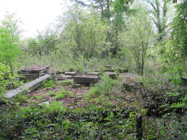
Image: © Bill Nicholls Taken: 14 Aug 2011
I wonder about these as I think they could be some old filter beds from a sewage system.
Images are licensed for reuse under creativecommons.org/licenses/by-sa/2.0
Image Location


Leaflet Map data © OpenStreetMap
Latitude
51.582565
Longitude
-1.434206