Crooked Cottage, Crooked Soley
Introduction
The photograph on this page of Crooked Cottage, Crooked Soley by Andrew Smith as part of the Geograph project.
The Geograph project started in 2005 with the aim of publishing, organising and preserving representative images for every square kilometre of Great Britain, Ireland and the Isle of Man.

There are currently over 7.5m images from over 14,400 individuals and you can help contribute to the project by visiting https://www.geograph.org.uk
Crooked Cottage, Crooked Soley
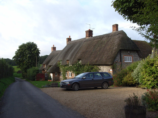
Image: © Andrew Smith Taken: 2 Oct 2006
The southernmost residence in the hamlet. Looking down the lane as it begins its descent to the Kennet valley.
Images are licensed for reuse under creativecommons.org/licenses/by-sa/2.0
Image Location
Latitude
51.449737
Longitude
-1.55385