Southern side of Buckland Rings
Introduction
The photograph on this page of Southern side of Buckland Rings by Jim Champion as part of the Geograph project.
The Geograph project started in 2005 with the aim of publishing, organising and preserving representative images for every square kilometre of Great Britain, Ireland and the Isle of Man.

There are currently over 7.5m images from over 14,400 individuals and you can help contribute to the project by visiting https://www.geograph.org.uk
Southern side of Buckland Rings
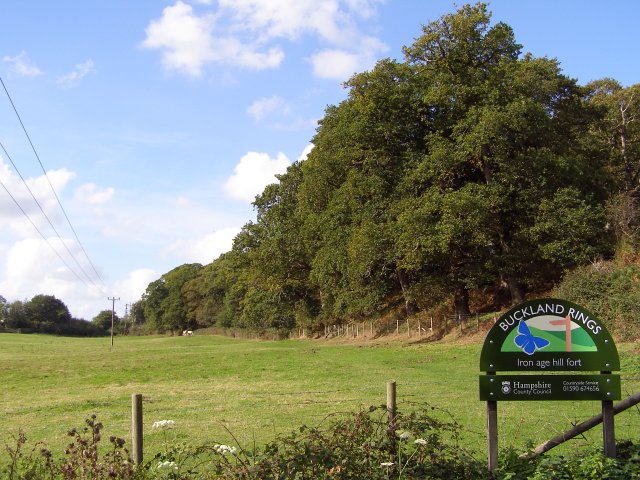
Image: © Jim Champion Taken: 8 Oct 2006
The beeches and oaks on the right are growing on the southern rampart of Buckland Rings iron-age camp. The signboard in the foreground is a creation of Hampshire County Council who bought the land around the site in 1989 and have made it part of the Buckland Conservation Area.
Images are licensed for reuse under creativecommons.org/licenses/by-sa/2.0
Image Location
Latitude
50.769031
Longitude
-1.553262