River Lark passes under Tollgate bridge
Introduction
The photograph on this page of River Lark passes under Tollgate bridge by John Goldsmith as part of the Geograph project.
The Geograph project started in 2005 with the aim of publishing, organising and preserving representative images for every square kilometre of Great Britain, Ireland and the Isle of Man.

There are currently over 7.5m images from over 14,400 individuals and you can help contribute to the project by visiting https://www.geograph.org.uk
River Lark passes under Tollgate bridge
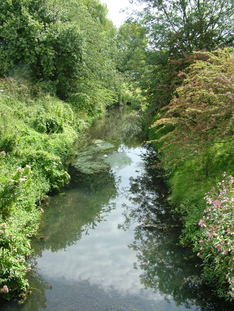
Image: © John Goldsmith Taken: 21 Aug 2011
To the south west of this bridge the road is Fornham Road. To the north east it becomes Thetford Road. The river probably demarcates the border into the parish of Fornham. A public house one field nearer Bury is also called the Tollgate so clearly there used to be a gate on the main road around here. There is no trace of old stonework though.
Images are licensed for reuse under creativecommons.org/licenses/by-sa/2.0
Image Location
Latitude
52.261246
Longitude
0.712445