Southport Community Service Centre
Introduction
The photograph on this page of Southport Community Service Centre by Gerald England as part of the Geograph project.
The Geograph project started in 2005 with the aim of publishing, organising and preserving representative images for every square kilometre of Great Britain, Ireland and the Isle of Man.

There are currently over 7.5m images from over 14,400 individuals and you can help contribute to the project by visiting https://www.geograph.org.uk
Southport Community Service Centre
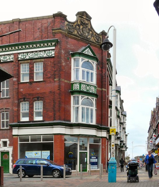
Image: © Gerald England Taken: 19 Aug 2011
At the corner of West Street and Scarisbrick Avenue is the Southport Community Service Centre. It offers services including information on independent living, shopmobility, welfare rights advice and a meeting place.
Images are licensed for reuse under creativecommons.org/licenses/by-sa/2.0
Image Location
Latitude
53.647858
Longitude
-3.008699