Lane, Hawksnest
Introduction
The photograph on this page of Lane, Hawksnest by Richard Webb as part of the Geograph project.
The Geograph project started in 2005 with the aim of publishing, organising and preserving representative images for every square kilometre of Great Britain, Ireland and the Isle of Man.

There are currently over 7.5m images from over 14,400 individuals and you can help contribute to the project by visiting https://www.geograph.org.uk
Lane, Hawksnest
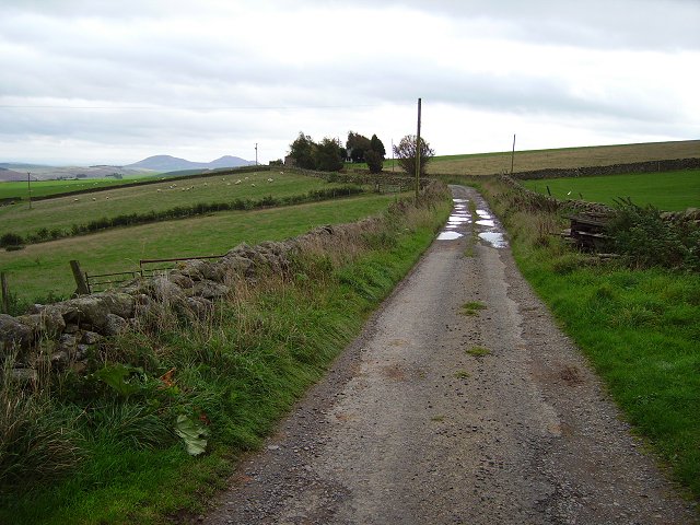
Image: © Richard Webb Taken: 7 Oct 2006
Taken just past the farm. The road is still shown in yellow on the map here, but is unsurfaced. Eildon Hills in the background.
Images are licensed for reuse under creativecommons.org/licenses/by-sa/2.0
Image Location


Leaflet Map data © OpenStreetMap
Latitude
55.658961
Longitude
-2.807386