Lower House Lane by Baddesley Farm
Introduction
The photograph on this page of Lower House Lane by Baddesley Farm by Robin Stott as part of the Geograph project.
The Geograph project started in 2005 with the aim of publishing, organising and preserving representative images for every square kilometre of Great Britain, Ireland and the Isle of Man.

There are currently over 7.5m images from over 14,400 individuals and you can help contribute to the project by visiting https://www.geograph.org.uk
Lower House Lane by Baddesley Farm
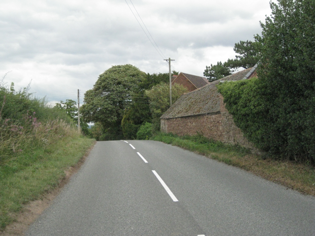
Image: © Robin Stott Taken: 14 Aug 2011
This country is towards the northern edge of the Arden region. The land falls away unevenly to the valley of the northwest-flowing river Anker.
Images are licensed for reuse under creativecommons.org/licenses/by-sa/2.0
Image Location
Latitude
52.585052
Longitude
-1.621528