From Church Street to Weets Hill, Barnoldswick
Introduction
The photograph on this page of From Church Street to Weets Hill, Barnoldswick by Dr Neil Clifton as part of the Geograph project.
The Geograph project started in 2005 with the aim of publishing, organising and preserving representative images for every square kilometre of Great Britain, Ireland and the Isle of Man.

There are currently over 7.5m images from over 14,400 individuals and you can help contribute to the project by visiting https://www.geograph.org.uk
From Church Street to Weets Hill, Barnoldswick
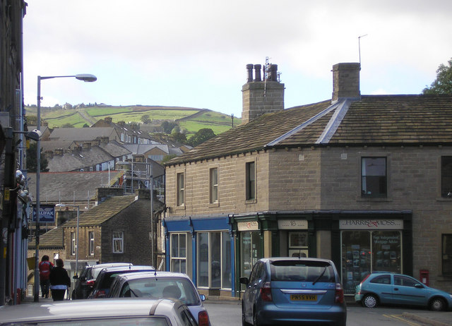
Image: © Dr Neil Clifton Taken: 9 Oct 2006
Barnoldswick's Church Street is a busy street with motor traffic most of the day, but open country is not far away as steep streets climb towards the backdrop of Weets Hill.
Images are licensed for reuse under creativecommons.org/licenses/by-sa/2.0
Image Location
Latitude
53.913598
Longitude
-2.19026