Priory Park Gates
Introduction
The photograph on this page of Priory Park Gates by Glyn Baker as part of the Geograph project.
The Geograph project started in 2005 with the aim of publishing, organising and preserving representative images for every square kilometre of Great Britain, Ireland and the Isle of Man.

There are currently over 7.5m images from over 14,400 individuals and you can help contribute to the project by visiting https://www.geograph.org.uk
Priory Park Gates
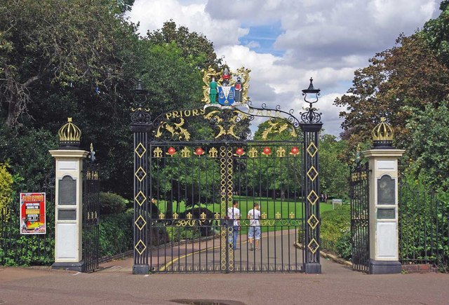
Image: © Glyn Baker Taken: 13 Aug 2011
Priory park has been a public open space since the end of WW1 when the land an manor was donated to the town see Image & Image
Images are licensed for reuse under creativecommons.org/licenses/by-sa/2.0
Image Location
Latitude
51.55126
Longitude
0.70331