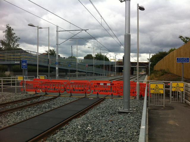
Cycle path level crossing west of St Werburgh's Road Metrolink stop
Introduction
The photograph on this page of Cycle path level crossing west of St Werburgh's Road Metrolink stop by Phil Champion as part of the Geograph project.
The Geograph project started in 2005 with the aim of publishing, organising and preserving representative images for every square kilometre of Great Britain, Ireland and the Isle of Man.
There are currently over 7.5m images from over 14,400 individuals and you can help contribute to the project by visiting https://www.geograph.org.uk

Image: © Phil Champion Taken: 18 Jun 2011
This photo was taken a week before the opening of the Metrolink extension to Chorlton-cum-Hardy and St Werburgh's Road. For a number of years previously the disused railway trackbed had been used as part of a popular cycle path. In utilising the former heavy rail line towards Chorlton Junction as part of the light rail network, it has been necessary to realign the cycleway to run along on side of the tram lines. Beyond the level crossing a long ramp can be seen, which provides step free access to the tram station.

