Limestone Outcrops in Cunning Dale
Introduction
The photograph on this page of Limestone Outcrops in Cunning Dale by Jonathan Clitheroe as part of the Geograph project.
The Geograph project started in 2005 with the aim of publishing, organising and preserving representative images for every square kilometre of Great Britain, Ireland and the Isle of Man.

There are currently over 7.5m images from over 14,400 individuals and you can help contribute to the project by visiting https://www.geograph.org.uk
Limestone Outcrops in Cunning Dale
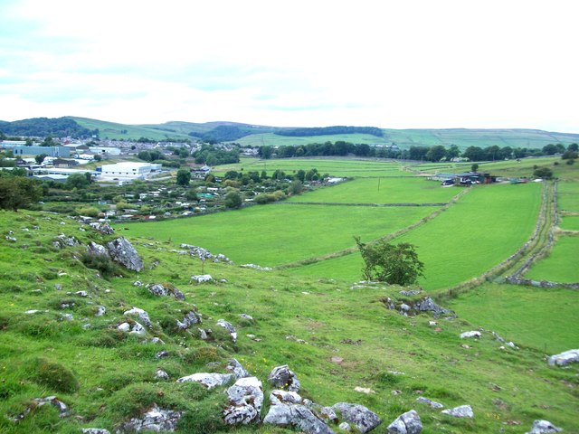
Image: © Jonathan Clitheroe Taken: 19 Aug 2011
The upper reaches of Cunning Dale overlooking the fringes of Buxton. Allotments and the Fairfield Industrial estate can be seen jutting out into the countryside.
Images are licensed for reuse under creativecommons.org/licenses/by-sa/2.0
Image Location
Latitude
53.260518
Longitude
-1.88678