Cowdale
Introduction
The photograph on this page of Cowdale by Jonathan Clitheroe as part of the Geograph project.
The Geograph project started in 2005 with the aim of publishing, organising and preserving representative images for every square kilometre of Great Britain, Ireland and the Isle of Man.

There are currently over 7.5m images from over 14,400 individuals and you can help contribute to the project by visiting https://www.geograph.org.uk
Cowdale
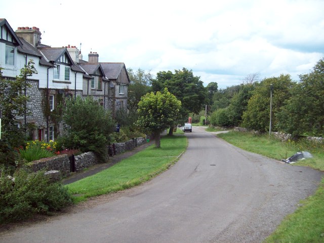
Image: © Jonathan Clitheroe Taken: 19 Aug 2011
Hamlet perched above the Wye Valley roughly 2 kilometres to the south east of Buxton.
Images are licensed for reuse under creativecommons.org/licenses/by-sa/2.0
Image Location
Latitude
53.244149
Longitude
-1.877382