Langford Green
Introduction
The photograph on this page of Langford Green by Derek Harper as part of the Geograph project.
The Geograph project started in 2005 with the aim of publishing, organising and preserving representative images for every square kilometre of Great Britain, Ireland and the Isle of Man.

There are currently over 7.5m images from over 14,400 individuals and you can help contribute to the project by visiting https://www.geograph.org.uk
Langford Green
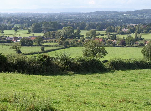
Image: © Derek Harper Taken: 14 Aug 2011
The hamlet on the A368 seen from Link Lane, with a glimpse of the Bristol Channel in the distance.
Images are licensed for reuse under creativecommons.org/licenses/by-sa/2.0
Image Location
Latitude
51.331231
Longitude
-2.75924