Greenscares
Introduction
The photograph on this page of Greenscares by Richard Webb as part of the Geograph project.
The Geograph project started in 2005 with the aim of publishing, organising and preserving representative images for every square kilometre of Great Britain, Ireland and the Isle of Man.

There are currently over 7.5m images from over 14,400 individuals and you can help contribute to the project by visiting https://www.geograph.org.uk
Greenscares
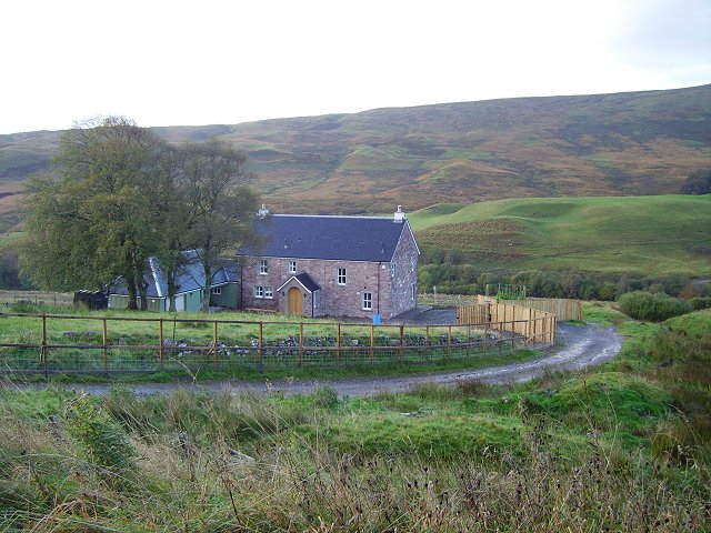
Image: © Richard Webb Taken: 8 Oct 2006
Now rebuilt and a home again. The house is just south of the gridline, but all the land before it belongs to this square.
Images are licensed for reuse under creativecommons.org/licenses/by-sa/2.0
Image Location
Latitude
56.294244
Longitude
-3.938241