Bus shelter, Oldmixon Road west of Hutton
Introduction
The photograph on this page of Bus shelter, Oldmixon Road west of Hutton by Jaggery as part of the Geograph project.
The Geograph project started in 2005 with the aim of publishing, organising and preserving representative images for every square kilometre of Great Britain, Ireland and the Isle of Man.

There are currently over 7.5m images from over 14,400 individuals and you can help contribute to the project by visiting https://www.geograph.org.uk
Bus shelter, Oldmixon Road west of Hutton
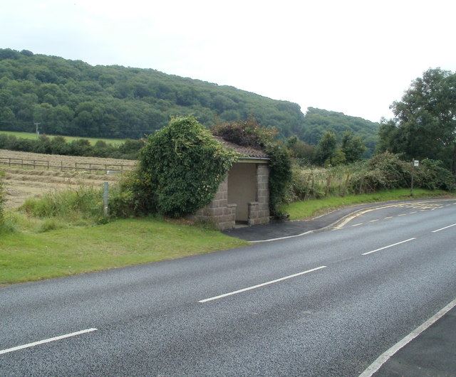
Image: © Jaggery Taken: 27 Jul 2011
In pouring rain, passengers would need to dash several metres from the shelter to the front of the bus. Perhaps the layout of the bus stop was designed in the days when passengers boarded at the back of the bus. The bus stop is on the farmland side of the road. All the houses are on the opposite side.
Images are licensed for reuse under creativecommons.org/licenses/by-sa/2.0
Image Location
Latitude
51.322669
Longitude
-2.947095