The centre of Bitterley
Introduction
The photograph on this page of The centre of Bitterley by Christine Johnstone as part of the Geograph project.
The Geograph project started in 2005 with the aim of publishing, organising and preserving representative images for every square kilometre of Great Britain, Ireland and the Isle of Man.

There are currently over 7.5m images from over 14,400 individuals and you can help contribute to the project by visiting https://www.geograph.org.uk
The centre of Bitterley
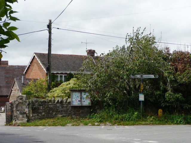
Image: © Christine Johnstone Taken: 10 Aug 2011
With a public water supply [marked Edward VII 1902], a parish noticeboard and a road junction.
Images are licensed for reuse under creativecommons.org/licenses/by-sa/2.0
Image Location
Latitude
52.392954
Longitude
-2.644046