Rural Surrey
Introduction
The photograph on this page of Rural Surrey by Ben Gamble as part of the Geograph project.
The Geograph project started in 2005 with the aim of publishing, organising and preserving representative images for every square kilometre of Great Britain, Ireland and the Isle of Man.

There are currently over 7.5m images from over 14,400 individuals and you can help contribute to the project by visiting https://www.geograph.org.uk
Rural Surrey
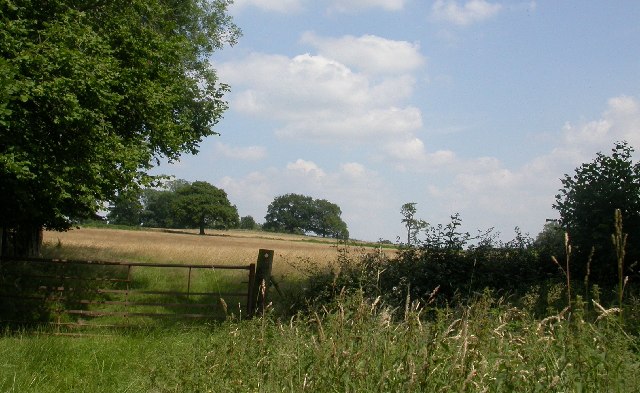
Image: © Ben Gamble Taken: 10 Jul 2005
Fields near Dunsfold in the very bottom right corner of this square.
Images are licensed for reuse under creativecommons.org/licenses/by-sa/2.0
Image Location


Leaflet Map data © OpenStreetMap
Latitude
51.123408
Longitude
-0.559616