Sherwood Avenue
Introduction
The photograph on this page of Sherwood Avenue by Alan Murray-Rust as part of the Geograph project.
The Geograph project started in 2005 with the aim of publishing, organising and preserving representative images for every square kilometre of Great Britain, Ireland and the Isle of Man.

There are currently over 7.5m images from over 14,400 individuals and you can help contribute to the project by visiting https://www.geograph.org.uk
Sherwood Avenue
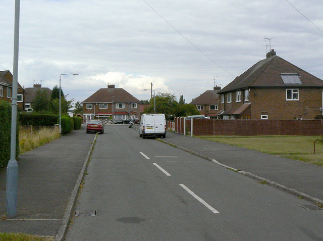
Image: © Alan Murray-Rust Taken: 14 Aug 2011
Part of the western block of development of Calverton as a colliery village in the 1950s and 60s, built by the National Coal Board.
Images are licensed for reuse under creativecommons.org/licenses/by-sa/2.0
Image Location
Latitude
53.041023
Longitude
-1.093145