Mansfield Lane
Introduction
The photograph on this page of Mansfield Lane by Alan Murray-Rust as part of the Geograph project.
The Geograph project started in 2005 with the aim of publishing, organising and preserving representative images for every square kilometre of Great Britain, Ireland and the Isle of Man.

There are currently over 7.5m images from over 14,400 individuals and you can help contribute to the project by visiting https://www.geograph.org.uk
Mansfield Lane
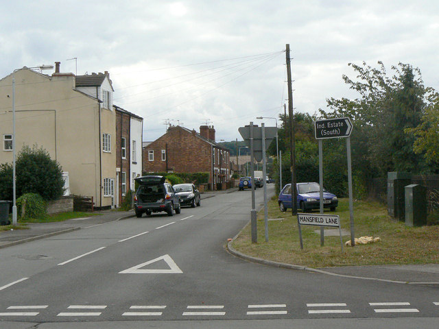
Image: © Alan Murray-Rust Taken: 14 Aug 2011
19th century housing shows that this is one of the established thoroughfares before the village was expanded to serve the colliery in the 1950s. Looking south from Park Road.
Images are licensed for reuse under creativecommons.org/licenses/by-sa/2.0
Image Location
Latitude
53.041925
Longitude
-1.081791