Park Road East
Introduction
The photograph on this page of Park Road East by Alan Murray-Rust as part of the Geograph project.
The Geograph project started in 2005 with the aim of publishing, organising and preserving representative images for every square kilometre of Great Britain, Ireland and the Isle of Man.

There are currently over 7.5m images from over 14,400 individuals and you can help contribute to the project by visiting https://www.geograph.org.uk
Park Road East
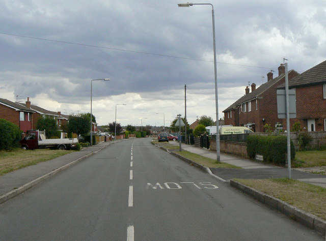
Image: © Alan Murray-Rust Taken: 14 Aug 2011
This marked the edge of the expansion of Calverton as a colliery village in the 1950s. The housing to the right is clearly publicly funded development (in this instance NCB), with 1970s private development on the left.
Images are licensed for reuse under creativecommons.org/licenses/by-sa/2.0
Image Location
Latitude
53.042184
Longitude
-1.080443