Former chapel and public house in Poynings
Introduction
The photograph on this page of Former chapel and public house in Poynings by Shazz as part of the Geograph project.
The Geograph project started in 2005 with the aim of publishing, organising and preserving representative images for every square kilometre of Great Britain, Ireland and the Isle of Man.

There are currently over 7.5m images from over 14,400 individuals and you can help contribute to the project by visiting https://www.geograph.org.uk
Former chapel and public house in Poynings
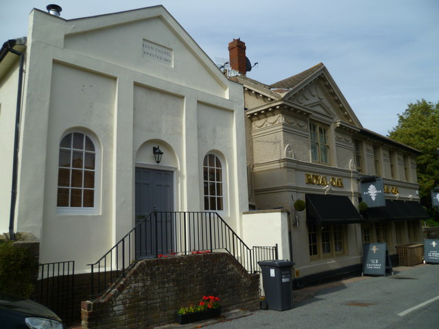
Image: © Shazz Taken: 15 Aug 2011
The chapel was erected in 1843.
Images are licensed for reuse under creativecommons.org/licenses/by-sa/2.0
Image Location
Latitude
50.893439
Longitude
-0.207255