Former The Edward VII Public House, Chatham
Introduction
The photograph on this page of Former The Edward VII Public House, Chatham by David Anstiss as part of the Geograph project.
The Geograph project started in 2005 with the aim of publishing, organising and preserving representative images for every square kilometre of Great Britain, Ireland and the Isle of Man.

There are currently over 7.5m images from over 14,400 individuals and you can help contribute to the project by visiting https://www.geograph.org.uk
Former The Edward VII Public House, Chatham
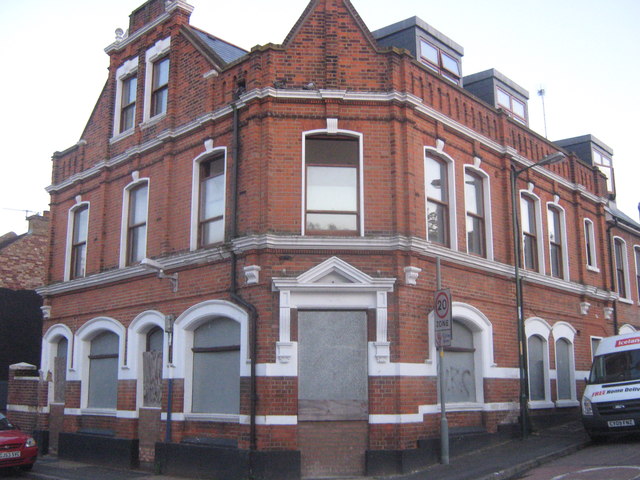
Image: © David Anstiss Taken: 9 Aug 2011
On the junction of Albert Road (on the left) and Natal Road (on the right). About to be converted into flats.
Images are licensed for reuse under creativecommons.org/licenses/by-sa/2.0
Image Location
Latitude
51.374939
Longitude
0.52808