Bourne Hall Health Centre
Introduction
The photograph on this page of Bourne Hall Health Centre by Bill Boaden as part of the Geograph project.
The Geograph project started in 2005 with the aim of publishing, organising and preserving representative images for every square kilometre of Great Britain, Ireland and the Isle of Man.

There are currently over 7.5m images from over 14,400 individuals and you can help contribute to the project by visiting https://www.geograph.org.uk
Bourne Hall Health Centre
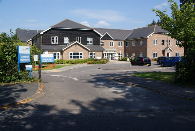
Image: © Bill Boaden Taken: 1 Aug 2011
Built on the Bourne Hall grounds which are encompassed by a one-way system.
Images are licensed for reuse under creativecommons.org/licenses/by-sa/2.0
Image Location
Latitude
51.35106
Longitude
-0.252783