Bedwas River Bridge plaque
Introduction
The photograph on this page of Bedwas River Bridge plaque by Jaggery as part of the Geograph project.
The Geograph project started in 2005 with the aim of publishing, organising and preserving representative images for every square kilometre of Great Britain, Ireland and the Isle of Man.

There are currently over 7.5m images from over 14,400 individuals and you can help contribute to the project by visiting https://www.geograph.org.uk
Bedwas River Bridge plaque
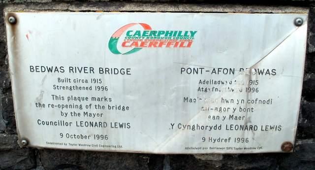
Image: © Jaggery Taken: 13 Aug 2011
The plaque records that the bridge http://www.geograph.org.uk/photo/2558450 was built circa 1915 and strengthened in 1996.
Images are licensed for reuse under creativecommons.org/licenses/by-sa/2.0
Image Location
Latitude
51.588228
Longitude
-3.208101