King's Mill, Settle
Introduction
The photograph on this page of King's Mill, Settle by Humphrey Bolton as part of the Geograph project.
The Geograph project started in 2005 with the aim of publishing, organising and preserving representative images for every square kilometre of Great Britain, Ireland and the Isle of Man.

There are currently over 7.5m images from over 14,400 individuals and you can help contribute to the project by visiting https://www.geograph.org.uk
King's Mill, Settle
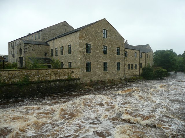
Image: © Humphrey Bolton Taken: 11 Aug 2011
Now converted to apartments, some of which overlook the River Ribble. This was taken from the Memorial Footbridge when the river was in spate.
Images are licensed for reuse under creativecommons.org/licenses/by-sa/2.0
Image Location
Latitude
54.070245
Longitude
-2.285565