
Offa's Dyke Path
Introduction
The photograph on this page of Offa's Dyke Path by Jeff Buck as part of the Geograph project.
The Geograph project started in 2005 with the aim of publishing, organising and preserving representative images for every square kilometre of Great Britain, Ireland and the Isle of Man.

There are currently over 7.5m images from over 14,400 individuals and you can help contribute to the project by visiting https://www.geograph.org.uk
Offa's Dyke Path
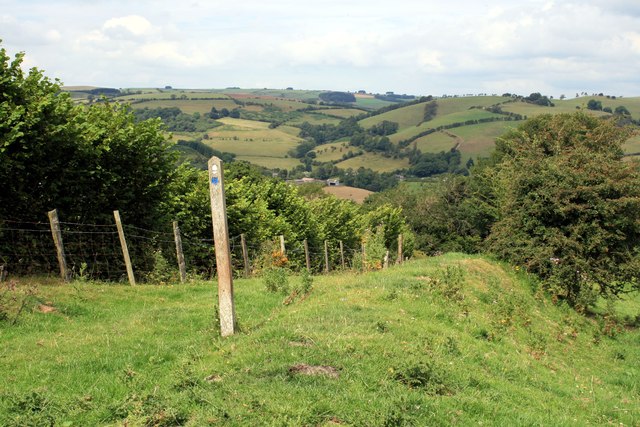
Image: © Jeff Buck Taken: 3 Aug 2011
Offa's Dyke (Welsh: Clawdd Offa) is a massive linear earthwork, roughly following some of the current border between England and Wales. In places, it is up to 65 feet (19.8 m) wide (including its flanking ditch) and 8 feet (2.44 m) high. In the 8th century it formed some kind of delineation between the Anglian kingdom of Mercia and the Welsh kingdom of Powys. Research in recent decades has dispelled many of the earlier theories and ideas about the earthwork.
Images are licensed for reuse under creativecommons.org/licenses/by-sa/2.0
Image Location

Latitude
52.421269
Longitude
-3.09649