Hales Park Estate, Bewdley
Introduction
The photograph on this page of Hales Park Estate, Bewdley by Richard Greenwood as part of the Geograph project.
The Geograph project started in 2005 with the aim of publishing, organising and preserving representative images for every square kilometre of Great Britain, Ireland and the Isle of Man.

There are currently over 7.5m images from over 14,400 individuals and you can help contribute to the project by visiting https://www.geograph.org.uk
Hales Park Estate, Bewdley
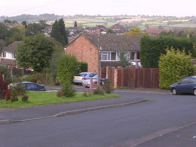
Image: © Richard Greenwood Taken: 8 Oct 2006
1960's housing looking North across Hales Park estate towards Bark Hill estate (red rooves, right) and The Lakes Estate (centre left). On the 1940's OS Map much of this area was cherry and other fruit orchards. Now all that remain are street names of cherry varieties, Morello Close, Ironside Close, Early River Place, although it is possible to find the occasional old fruit tree in back gardens.
Images are licensed for reuse under creativecommons.org/licenses/by-sa/2.0
Image Location
Latitude
52.37348
Longitude
-2.330451