Bridge Road, Weston-Super-Mare
Introduction
The photograph on this page of Bridge Road, Weston-Super-Mare by Derek Harper as part of the Geograph project.
The Geograph project started in 2005 with the aim of publishing, organising and preserving representative images for every square kilometre of Great Britain, Ireland and the Isle of Man.

There are currently over 7.5m images from over 14,400 individuals and you can help contribute to the project by visiting https://www.geograph.org.uk
Bridge Road, Weston-Super-Mare
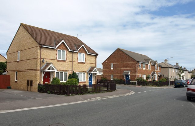
Image: © Derek Harper Taken: 10 Aug 2011
The junction with Hildesheim Close. Modern housing gives way to older pre-war housing on the right as the road approaches Langford Road.
Images are licensed for reuse under creativecommons.org/licenses/by-sa/2.0
Image Location
Latitude
51.343392
Longitude
-2.964033