Burdetts Close
Introduction
The photograph on this page of Burdetts Close by Alan Murray-Rust as part of the Geograph project.
The Geograph project started in 2005 with the aim of publishing, organising and preserving representative images for every square kilometre of Great Britain, Ireland and the Isle of Man.

There are currently over 7.5m images from over 14,400 individuals and you can help contribute to the project by visiting https://www.geograph.org.uk
Burdetts Close
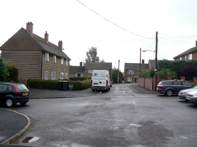
Image: © Alan Murray-Rust Taken: 4 Aug 2011
A small local authority development in the angle between Nether End and Main Street. The solitary system built house on the left is unusual in that generally the whole development would be uniform.
Images are licensed for reuse under creativecommons.org/licenses/by-sa/2.0
Image Location
Latitude
52.72276
Longitude
-0.898542