The Tame valley from Quickedge Road near Mossley
Introduction
The photograph on this page of The Tame valley from Quickedge Road near Mossley by Michael Fox as part of the Geograph project.
The Geograph project started in 2005 with the aim of publishing, organising and preserving representative images for every square kilometre of Great Britain, Ireland and the Isle of Man.

There are currently over 7.5m images from over 14,400 individuals and you can help contribute to the project by visiting https://www.geograph.org.uk
The Tame valley from Quickedge Road near Mossley
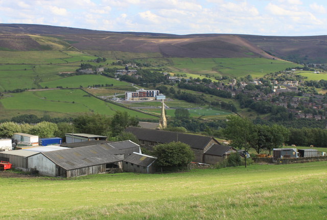
Image: © Michael Fox Taken: 15 Aug 2011
Little Haigh Farm is in the foreground with St. John's Church at Roughtown beyond.
Images are licensed for reuse under creativecommons.org/licenses/by-sa/2.0
Image Location
Latitude
53.525906
Longitude
-2.042801