Right of Way across Westfield Common
Introduction
The photograph on this page of Right of Way across Westfield Common by Westfield Common Residents' Association as part of the Geograph project.
The Geograph project started in 2005 with the aim of publishing, organising and preserving representative images for every square kilometre of Great Britain, Ireland and the Isle of Man.

There are currently over 7.5m images from over 14,400 individuals and you can help contribute to the project by visiting https://www.geograph.org.uk
Right of Way across Westfield Common
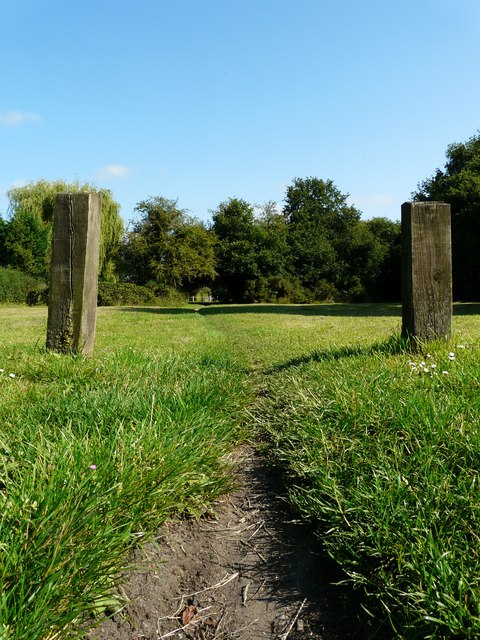
Image: © Westfield Common Residents' Association Taken: 30 Jul 2011
View of Westfield Common from Moor Lane looking north across a well worn track.
Images are licensed for reuse under creativecommons.org/licenses/by-sa/2.0
Image Location
Latitude
51.296347
Longitude
-0.560665