Farmland north-east of Llwyn-y-Groes, Ceredigion
Introduction
The photograph on this page of Farmland north-east of Llwyn-y-Groes, Ceredigion by Roger D Kidd as part of the Geograph project.
The Geograph project started in 2005 with the aim of publishing, organising and preserving representative images for every square kilometre of Great Britain, Ireland and the Isle of Man.

There are currently over 7.5m images from over 14,400 individuals and you can help contribute to the project by visiting https://www.geograph.org.uk
Farmland north-east of Llwyn-y-Groes, Ceredigion
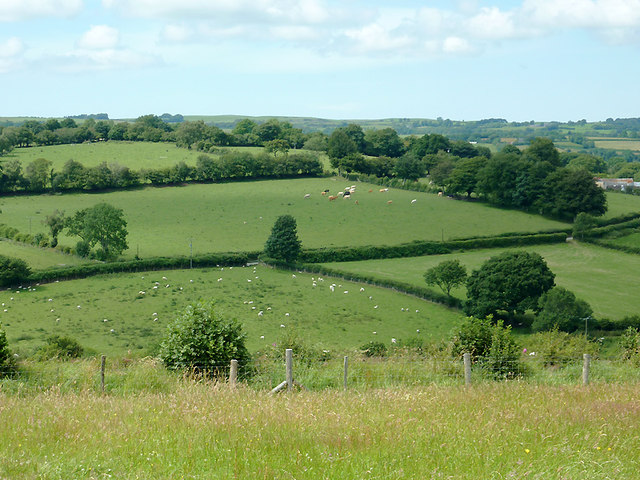
Image: © Roger D Kidd Taken: 20 Jul 2011
This telephoto assisted image looking across the fields shows the large tree in the middle of the picture as the given subject grid reference. The lane between Llwyn-y-Groes and Capel Betws Leucu crosses the image between hedges by that tree.
Images are licensed for reuse under creativecommons.org/licenses/by-sa/2.0
Image Location
Latitude
52.192523
Longitude
-4.05265