Grass field and landscape near to Llwyn-y-Groes
Introduction
The photograph on this page of Grass field and landscape near to Llwyn-y-Groes by Roger D Kidd as part of the Geograph project.
The Geograph project started in 2005 with the aim of publishing, organising and preserving representative images for every square kilometre of Great Britain, Ireland and the Isle of Man.

There are currently over 7.5m images from over 14,400 individuals and you can help contribute to the project by visiting https://www.geograph.org.uk
Grass field and landscape near to Llwyn-y-Groes
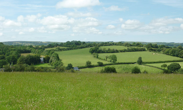
Image: © Roger D Kidd Taken: 20 Jul 2011
Looking across this elevated grass field, ready for mowing, the fields north of Llwyn-y-Groes show the pattern of lowland pasture and woodland in the area. The lane from Llwyn-y-Groes to Capel Betws Leucu crosses the image between hedges. The farm at Bron Haul is by the trees on the left.
Images are licensed for reuse under creativecommons.org/licenses/by-sa/2.0
Image Location
Latitude
52.189603
Longitude
-4.049414