Former Railway Embankment
Introduction
The photograph on this page of Former Railway Embankment by Simon Carey as part of the Geograph project.
The Geograph project started in 2005 with the aim of publishing, organising and preserving representative images for every square kilometre of Great Britain, Ireland and the Isle of Man.

There are currently over 7.5m images from over 14,400 individuals and you can help contribute to the project by visiting https://www.geograph.org.uk
Former Railway Embankment
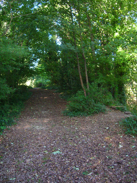
Image: © Simon Carey Taken: 7 Oct 2006
The start of the Lewes to Uckfield line now hidden in the Railway Land Nature Reserve. From the embankment it was carried on a viaduct over the original line to Hastings and Newhaven and Cliffe High Street.
Images are licensed for reuse under creativecommons.org/licenses/by-sa/2.0
Image Location
Latitude
50.871216
Longitude
0.0139