Water trough, Watergate Lane
Introduction
The photograph on this page of Water trough, Watergate Lane by Simon Carey as part of the Geograph project.
The Geograph project started in 2005 with the aim of publishing, organising and preserving representative images for every square kilometre of Great Britain, Ireland and the Isle of Man.

There are currently over 7.5m images from over 14,400 individuals and you can help contribute to the project by visiting https://www.geograph.org.uk
Water trough, Watergate Lane
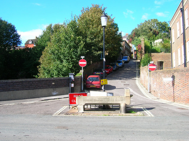
Image: © Simon Carey Taken: 7 Oct 2006
Drinking fountain and cattle trough from the days when cattle and livestock were herded into the town from the surrounding farms. This also makes the point where the former Watergate stood in the old medieval town walls.
Images are licensed for reuse under creativecommons.org/licenses/by-sa/2.0
Image Location
Latitude
50.871289
Longitude
0.009639