Former Salvation Army Citadel
Introduction
The photograph on this page of Former Salvation Army Citadel by Andy Potter as part of the Geograph project.
The Geograph project started in 2005 with the aim of publishing, organising and preserving representative images for every square kilometre of Great Britain, Ireland and the Isle of Man.

There are currently over 7.5m images from over 14,400 individuals and you can help contribute to the project by visiting https://www.geograph.org.uk
Former Salvation Army Citadel
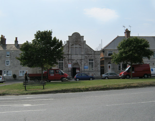
Image: © Andy Potter Taken: 28 Jul 2011
I wonder what the new owners will make of it and I wonder what the original owners would have thought of their intentions; in Victoria Place.
Images are licensed for reuse under creativecommons.org/licenses/by-sa/2.0
Image Location
Latitude
50.548204
Longitude
-2.436498