Mayfield Drive, Eastham
Introduction
The photograph on this page of Mayfield Drive, Eastham by Eirian Evans as part of the Geograph project.
The Geograph project started in 2005 with the aim of publishing, organising and preserving representative images for every square kilometre of Great Britain, Ireland and the Isle of Man.

There are currently over 7.5m images from over 14,400 individuals and you can help contribute to the project by visiting https://www.geograph.org.uk
Mayfield Drive, Eastham
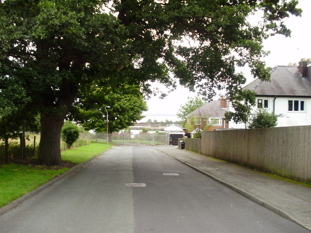
Image: © Eirian Evans Taken: 14 Aug 2011
The houses around the corner on Seaview Avenue have a view over Queen Elizabeth Dock to the entrance to the Manchester Ship Canal and the River Mersey beyond.
Images are licensed for reuse under creativecommons.org/licenses/by-sa/2.0
Image Location
Latitude
53.319769
Longitude
-2.953656