Ellesmere House
Introduction
The photograph on this page of Ellesmere House by David Dixon as part of the Geograph project.
The Geograph project started in 2005 with the aim of publishing, organising and preserving representative images for every square kilometre of Great Britain, Ireland and the Isle of Man.

There are currently over 7.5m images from over 14,400 individuals and you can help contribute to the project by visiting https://www.geograph.org.uk
Ellesmere House
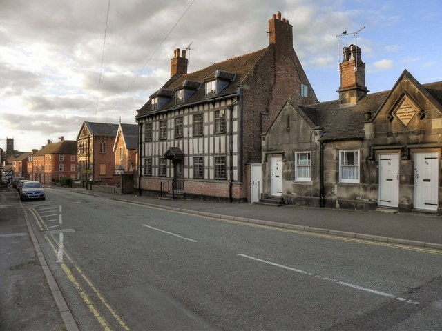
Image: © David Dixon Taken: 9 Aug 2011
This is an example of an early 18th century house which shows the transition from all-timber framing to all brick construction. Throughout the 19th century, it was used as a boarding school for young ladies.
Images are licensed for reuse under creativecommons.org/licenses/by-sa/2.0
Image Location
Latitude
52.966654
Longitude
-2.681578