Pylons and Cables in Didcot
Introduction
The photograph on this page of Pylons and Cables in Didcot by Des Blenkinsopp as part of the Geograph project.
The Geograph project started in 2005 with the aim of publishing, organising and preserving representative images for every square kilometre of Great Britain, Ireland and the Isle of Man.

There are currently over 7.5m images from over 14,400 individuals and you can help contribute to the project by visiting https://www.geograph.org.uk
Pylons and Cables in Didcot
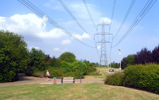
Image: © Des Blenkinsopp Taken: 3 Aug 2011
With a major power station on the edge of town it's inevitable that lines like this are a feature of the local landscape. Building has to keep a suitably safe distance away from them, resulting in North Didcot having a long open strip like this running through the centre of recent housing developments. The area beneath the cables has been landscaped into a sort of linear park, with cycleways and sitting out areas, and is actually a bit of an amenity.
Images are licensed for reuse under creativecommons.org/licenses/by-sa/2.0
Image Location
Latitude
51.611257
Longitude
-1.230223