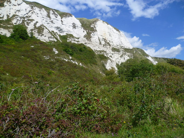
The cliffs of Folkestone Warren
Introduction
The photograph on this page of The cliffs of Folkestone Warren by Marathon as part of the Geograph project.
The Geograph project started in 2005 with the aim of publishing, organising and preserving representative images for every square kilometre of Great Britain, Ireland and the Isle of Man.
There are currently over 7.5m images from over 14,400 individuals and you can help contribute to the project by visiting https://www.geograph.org.uk

Image: © Marathon Taken: 8 Aug 2011
A zig-zag path descends the cliffs of Folkestone Warren beneath the Cliff Top Cafe. The path then follows the railway line eastwards before ascending rapidly again via steps to a caravan park. This view is about half way along, near the footbridge over the railway, and gives a close up of the chalk cliffs. The cliffs of Folkestone Warren consist of a series of landslides, and has probably been more intensively studied than any other landslide of comparable size in Great Britain. This is largely because it is crossed by the main Folkestone-Dover railway line, which on occasion has been displaced by slipping. This has created an immediate demand for detailed studies and monitoring. The site has suffered twelve major slips since 1765, and is now protected by complex coastal defence works.

