Cliff top view of Folkestone Warren at Capel-le-Ferne
Introduction
The photograph on this page of Cliff top view of Folkestone Warren at Capel-le-Ferne by Marathon as part of the Geograph project.
The Geograph project started in 2005 with the aim of publishing, organising and preserving representative images for every square kilometre of Great Britain, Ireland and the Isle of Man.

There are currently over 7.5m images from over 14,400 individuals and you can help contribute to the project by visiting https://www.geograph.org.uk
Cliff top view of Folkestone Warren at Capel-le-Ferne
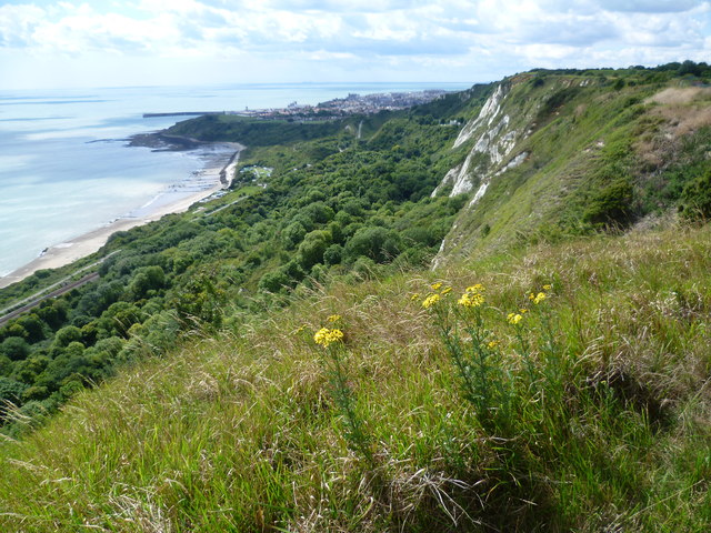
Image: © Marathon Taken: 8 Aug 2011
This photograph is taken looking along the cliffs between the Battle of Britain Memorial and the Cliff Top Cafe at Capel-le-Ferne. Both the North Downs Way and the Saxon Shore Way follow the cliff top and give dramatic views of the chalk cliffs and of Folkestone Warren with the railway line at the bottom. In the distance is Folkestone Harbour.
Images are licensed for reuse under creativecommons.org/licenses/by-sa/2.0
Image Location
Latitude
51.100051
Longitude
1.214173