Radergan Road
Introduction
The photograph on this page of Radergan Road by Kenneth Allen as part of the Geograph project.
The Geograph project started in 2005 with the aim of publishing, organising and preserving representative images for every square kilometre of Great Britain, Ireland and the Isle of Man.

There are currently over 7.5m images from over 14,400 individuals and you can help contribute to the project by visiting https://www.geograph.org.uk
Radergan Road
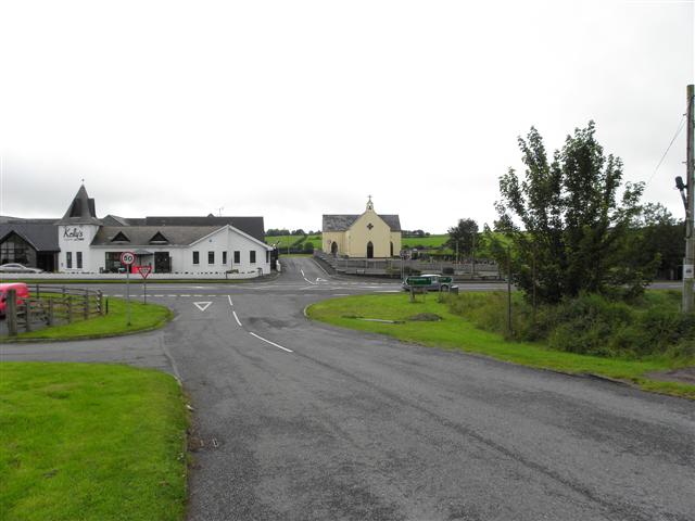
Image: © Kenneth Allen Taken: 11 Aug 2011
Heading south-west towards the A5 Omagh to Ballygawley Road The buildings ahead are Kelly's Inn and St Matthew's RC Church, Garvaghy
Images are licensed for reuse under creativecommons.org/licenses/by-sa/2.0
Image Location
Latitude
54.488859
Longitude
-7.13494