Fairmile crossroads
Introduction
The photograph on this page of Fairmile crossroads by David Smith as part of the Geograph project.
The Geograph project started in 2005 with the aim of publishing, organising and preserving representative images for every square kilometre of Great Britain, Ireland and the Isle of Man.

There are currently over 7.5m images from over 14,400 individuals and you can help contribute to the project by visiting https://www.geograph.org.uk
Fairmile crossroads
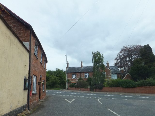
Image: © David Smith Taken: 13 Aug 2011
The road running across the picture was the A30, before the construction of a dual carriageway to the north. The A30 followed the path of a Roman road
Images are licensed for reuse under creativecommons.org/licenses/by-sa/2.0
Image Location
Latitude
50.766552
Longitude
-3.295714