Gunsgreen House and the RNLI building
Introduction
The photograph on this page of Gunsgreen House and the RNLI building by M J Richardson as part of the Geograph project.
The Geograph project started in 2005 with the aim of publishing, organising and preserving representative images for every square kilometre of Great Britain, Ireland and the Isle of Man.

There are currently over 7.5m images from over 14,400 individuals and you can help contribute to the project by visiting https://www.geograph.org.uk
Gunsgreen House and the RNLI building
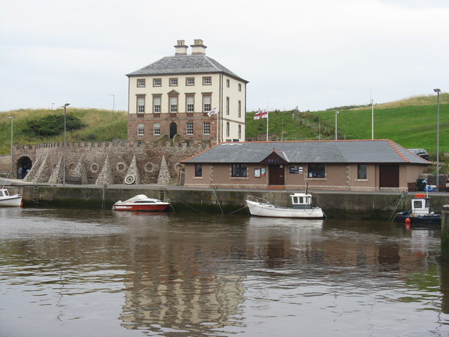
Image: © M J Richardson Taken: 12 Aug 2011
Built in the 1750s for John Nisbet, a successful Eyemouth merchant, and thought to be a cover for smuggling activities.
Images are licensed for reuse under creativecommons.org/licenses/by-sa/2.0
Image Location
Latitude
55.871568
Longitude
-2.085311