A community space at Drongan
Introduction
The photograph on this page of A community space at Drongan by Walter Baxter as part of the Geograph project.
The Geograph project started in 2005 with the aim of publishing, organising and preserving representative images for every square kilometre of Great Britain, Ireland and the Isle of Man.

There are currently over 7.5m images from over 14,400 individuals and you can help contribute to the project by visiting https://www.geograph.org.uk
A community space at Drongan
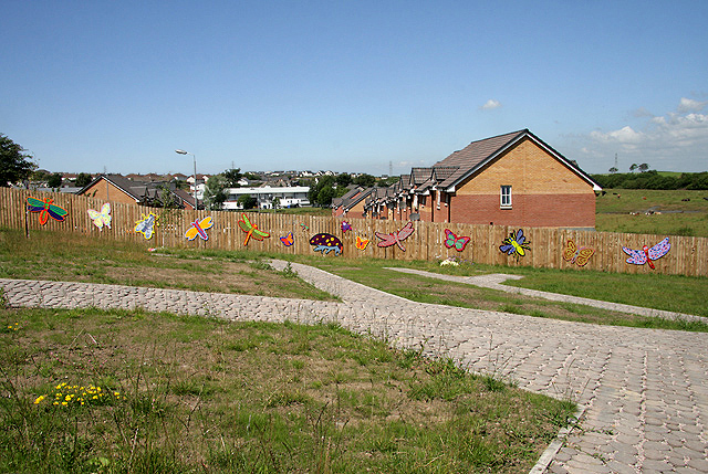
Image: © Walter Baxter Taken: 26 Jul 2011
This would appear to be a fairly new community space/garden with colourful butterfly and dragonfly shapes fixed to a timber boundary fence.
Images are licensed for reuse under creativecommons.org/licenses/by-sa/2.0
Image Location
Latitude
55.433691
Longitude
-4.452727