Lane into Sherburn
Introduction
The photograph on this page of Lane into Sherburn by Martin Dawes as part of the Geograph project.
The Geograph project started in 2005 with the aim of publishing, organising and preserving representative images for every square kilometre of Great Britain, Ireland and the Isle of Man.

There are currently over 7.5m images from over 14,400 individuals and you can help contribute to the project by visiting https://www.geograph.org.uk
Lane into Sherburn
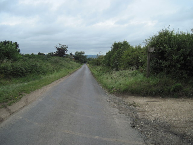
Image: © Martin Dawes Taken: 10 Aug 2011
The footpath junction to the right takes a field track. Wolds Way and Centenary Way.
Images are licensed for reuse under creativecommons.org/licenses/by-sa/2.0
Image Location
Latitude
54.174256
Longitude
-0.532179