Edge of Town
Introduction
The photograph on this page of Edge of Town by Tony Atkin as part of the Geograph project.
The Geograph project started in 2005 with the aim of publishing, organising and preserving representative images for every square kilometre of Great Britain, Ireland and the Isle of Man.

There are currently over 7.5m images from over 14,400 individuals and you can help contribute to the project by visiting https://www.geograph.org.uk
Edge of Town
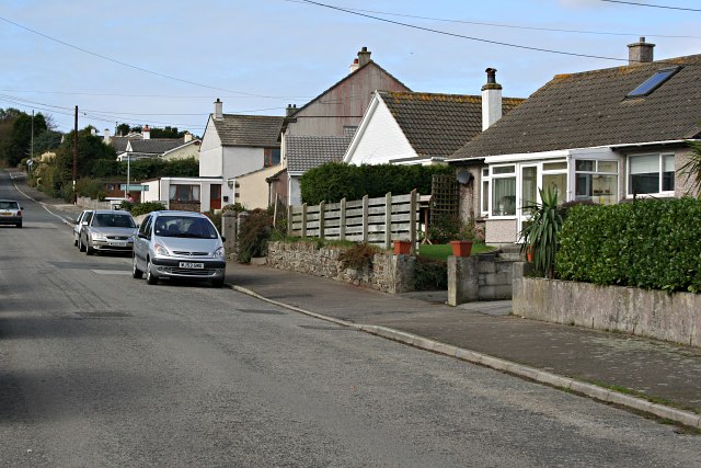
Image: © Tony Atkin Taken: 7 Oct 2006
Mevagissey has its famous old town centre with narrow streets clustered round the harbour, but here, 50 metres above that on the edge of the town are suburban streets and closes which could be anywhere at all.
Images are licensed for reuse under creativecommons.org/licenses/by-sa/2.0
Image Location
Latitude
50.268627
Longitude
-4.795191