Railway path, Donaghadee (5)
Introduction
The photograph on this page of Railway path, Donaghadee (5) by Albert Bridge as part of the Geograph project.
The Geograph project started in 2005 with the aim of publishing, organising and preserving representative images for every square kilometre of Great Britain, Ireland and the Isle of Man.

There are currently over 7.5m images from over 14,400 individuals and you can help contribute to the project by visiting https://www.geograph.org.uk
Railway path, Donaghadee (5)
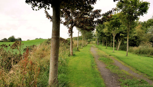
Image: © Albert Bridge Taken: 12 Aug 2011
See Image The path, looking away from Donaghadee, to the west of the previous photograph. It turns right (background leaving the line of the railway) but the course of the old railway, as it continues towards Ballygrainey and Newtownards is still well defined – 61 years after closure. Part of this field Image is on the left. Image shows the old line as it diverges from the path.
Images are licensed for reuse under creativecommons.org/licenses/by-sa/2.0
Image Location
Latitude
54.632252
Longitude
-5.54