Ruined limekilns, near Daw's Castle, Watchet
Introduction
The photograph on this page of Ruined limekilns, near Daw's Castle, Watchet by Roger Cornfoot as part of the Geograph project.
The Geograph project started in 2005 with the aim of publishing, organising and preserving representative images for every square kilometre of Great Britain, Ireland and the Isle of Man.

There are currently over 7.5m images from over 14,400 individuals and you can help contribute to the project by visiting https://www.geograph.org.uk
Ruined limekilns, near Daw's Castle, Watchet
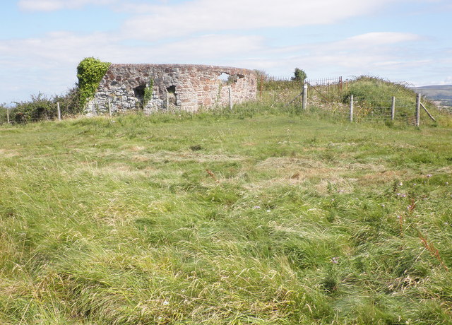
Image: © Roger Cornfoot Taken: 9 Aug 2011
The limestone and culm was brought up to the kilns from the beach by an inclined plane tramway, now gone. The culm was brought from south Wales and probably dumped overboard; collected at low tide.
Images are licensed for reuse under creativecommons.org/licenses/by-sa/2.0
Image Location


Leaflet Map data © OpenStreetMap
Latitude
51.180309
Longitude
-3.34348