2011 : Park Road, Staple Hill, Bristol
Introduction
The photograph on this page of 2011 : Park Road, Staple Hill, Bristol by Maurice Pullin as part of the Geograph project.
The Geograph project started in 2005 with the aim of publishing, organising and preserving representative images for every square kilometre of Great Britain, Ireland and the Isle of Man.

There are currently over 7.5m images from over 14,400 individuals and you can help contribute to the project by visiting https://www.geograph.org.uk
2011 : Park Road, Staple Hill, Bristol
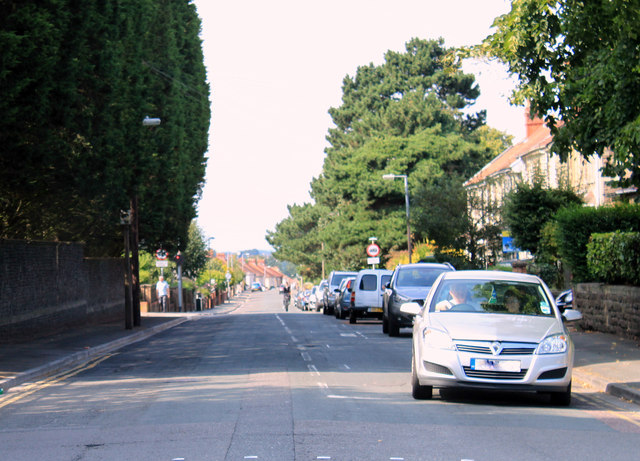
Image: © Maurice Pullin Taken: 2 Aug 2011
Looking north toward Downend. Seen from the traffic lights at the top of Teewell Hill. Page Park is behind the houses to the right. The site on the left, behind the high stone wall was the Staple Hill terminus and depot of the Bristol tramways until 1940 when the generator building was destroyed during the blitz.
Images are licensed for reuse under creativecommons.org/licenses/by-sa/2.0
Image Location
Latitude
51.481256
Longitude
-2.500505